Study Area
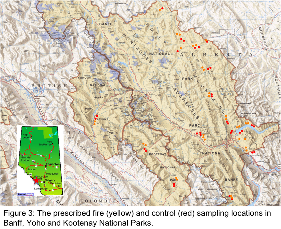
The study area encompassed regions of Banff, Kootenay, and Yoho National Parks in the Rocky Mountains of Alberta and British Columbia, Canada (Fig. 3). In general, the lower slopes of these mountainous regions are dominated by lodgepole pine (Pinus contorta) forests growing on glacial till, while the dryer more open south facing regions are often dominated by Douglas fir (Pseudotsuga menziesii). Vegetation data was collected in 35 prescribed fire sites and an equal number of adjacent forested controls (Fig. 3). The regeneration time of the prescribed burns varied from 11 months to 29 years while the fire area size varied from a minimum of 8 ha to a maximum of 4800 ha. Parks Canada's management objectives for these prescribed fires were to reduce impact of insects and disease on forests, protect communities and development from wildfire, restore grassland ecosystems and to establish wildlife habitat for ungulates. None of the prescribed fires primary focus was to generate grizzly bear habitat.
Experimental Design/ Vegetation Sampling
In total 70 locations were sampled in or adjacent to 18 different prescribed fires. Thirty five sites were within prescribed fires, and 35 sites were within forested control sites (Fig. 3). Terrain influences at each site were assessed using a 26.7-m digital elevation model (DEM) that describes elevation and micro-site conditions. A compound topographic index (CTI) was also used to stratify three soil moisture attributes (wet, mesic, and xeric), while a heat load index (HLI) was used to stratify the effects of potential solar radiation. We stratified each prescribed fire sampling site with four fire associated variables: fire intensity, burn severity, time since fire and season of fire. Fire intensity was factored into six different intensity classes based on the Canadian Forest Fire Behavior Prediction system (Taylor et al., 1997). Burn severity ratings were classified into 3 factors (low, medium and high) based on the differenced normalized burn ratio (dNBR). The dNBR was established using differences in the near infrared and shortwave infrared spectral bands of Landsat Thermatic Mapper images taken from the year, and following year of the burn (Soverel et al. 2011). Time since fire was factored in 5 different time scales: 0-5 years, 6-10 years, 11-15 years, 16-20 years and 21-25 years since fire. Season of fire was factored into three categories based on the timing of fire ignition: Spring (April 1-June 15), Summer (June 16-August 31) and Fall (September 1 to November 15). Understanding the influence of these terrain and fire variables on grizzly bear food production can be directly applied to fire prescriptions when implementing burn strategies for establishing grizzly bear habitat.
Vegetation was sampled at each stratified random site over a 100m long transect. Along the 100m transect a 2m wide belt (total = 200 m²) was used to quantify major bear foods that occured in distinct, countable units such as sweetvetch (Hedysarum spp.), buffaloberry ( Shepherida canadensis), ant (Formica spp.) mounds, and ungulates (based on pellet group counts). Fruit from large fruiting shrubs was counted across this belt transect. A line-intercept method was used to estimate density of herbaceous species such as: horsetail (Equisetum spp.), dandelion (Taraxacum officinale) and clover (Trifolium spp.), and to estimate dwarf fruiting species: blueberries (Vaccinium spp.), raspberries (Rubus spp.),and bearberry (Arctostaphylos uva-ursi). Forest canopy cover was also generated using the line-intercept. Sedges, graminoids, soil characteristics and fruit counts for dwarf fruiting species were collected and counted within eight 1m² quadrats, placed every 12.5m over the 100m transect. Important food species were selected based on previous grizzly bear diet studies in Banff (Herrero and Hamer 1987) and other Canadian Rocky Mountain locations ( Hamer et al. 1991; Munro et al. 2006).
